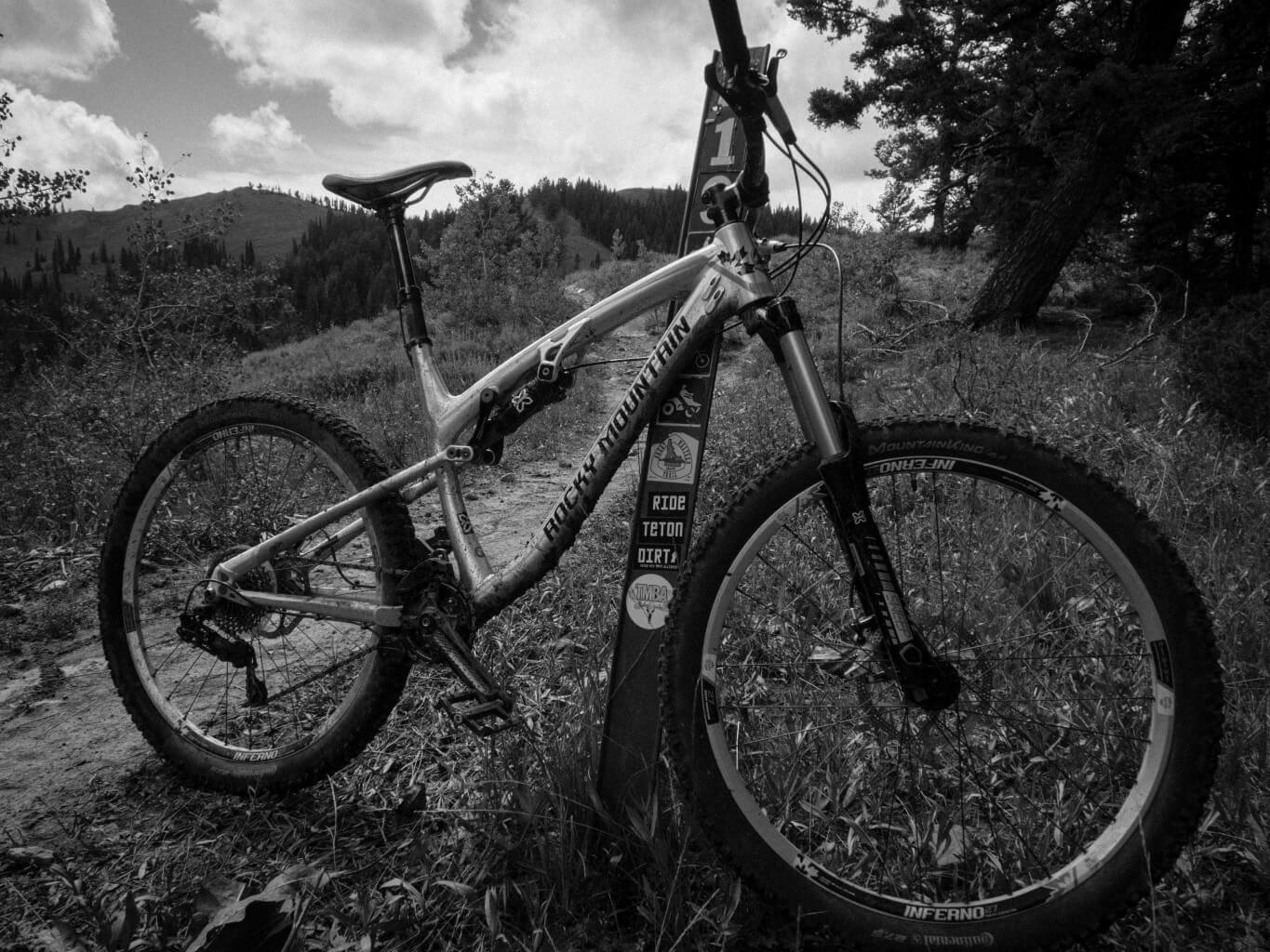
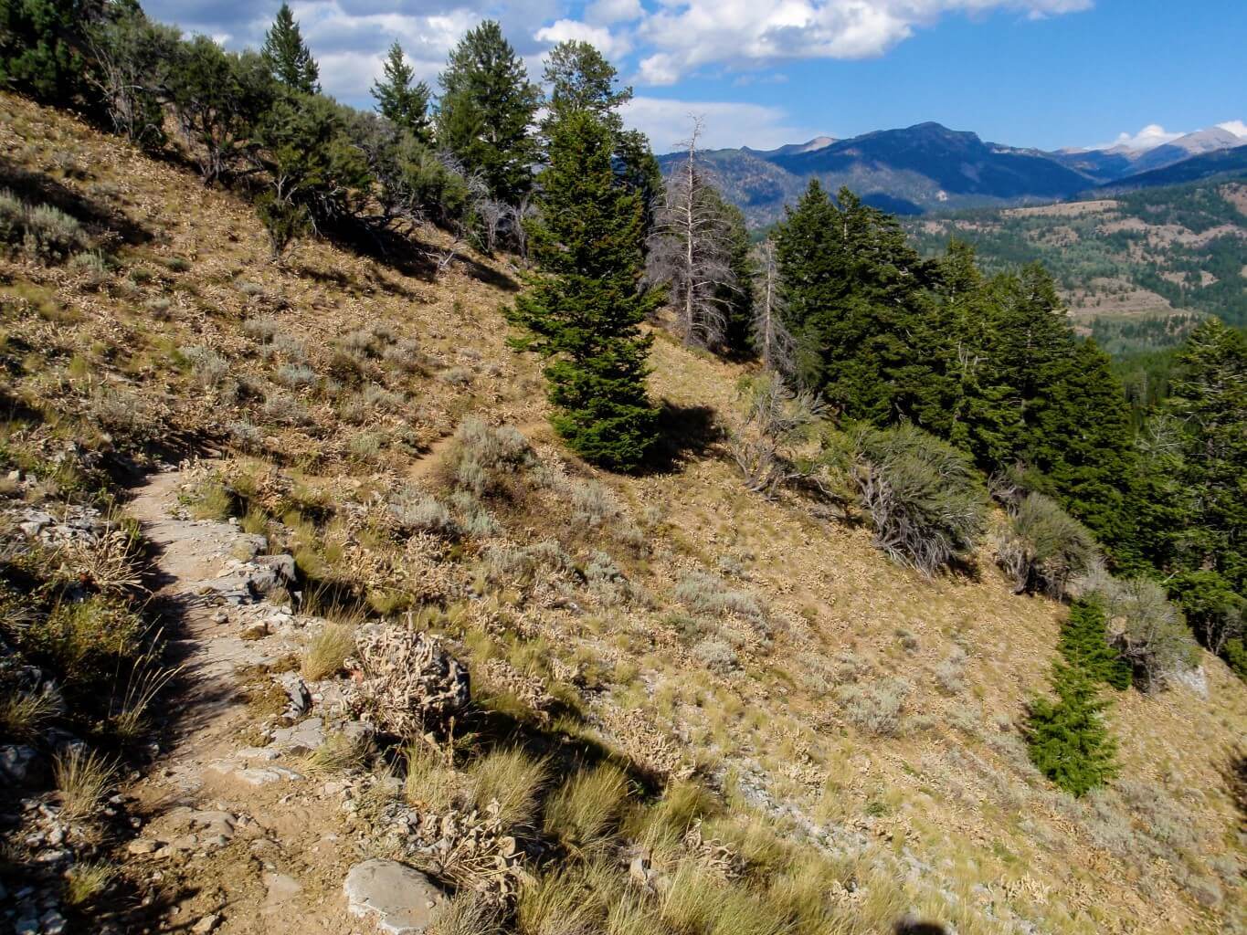
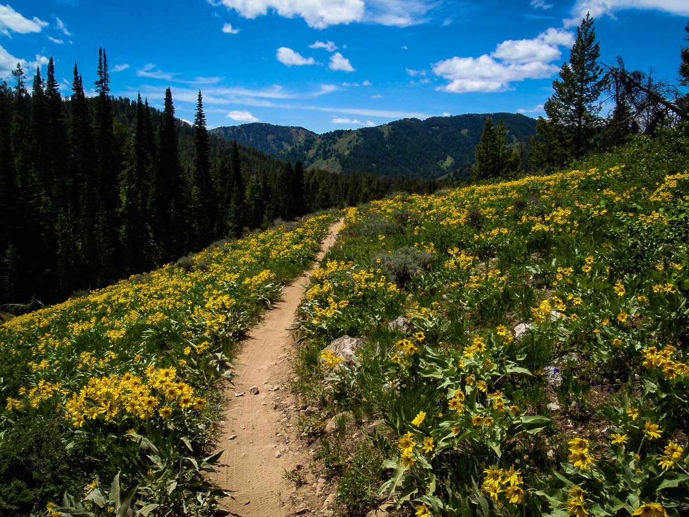
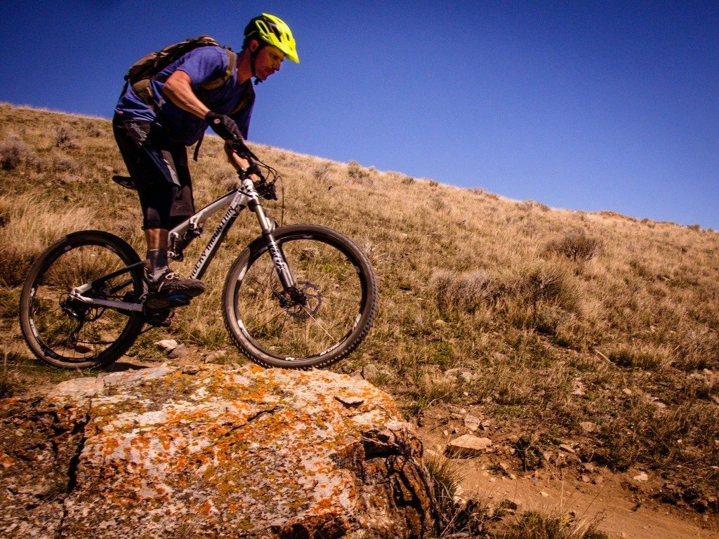
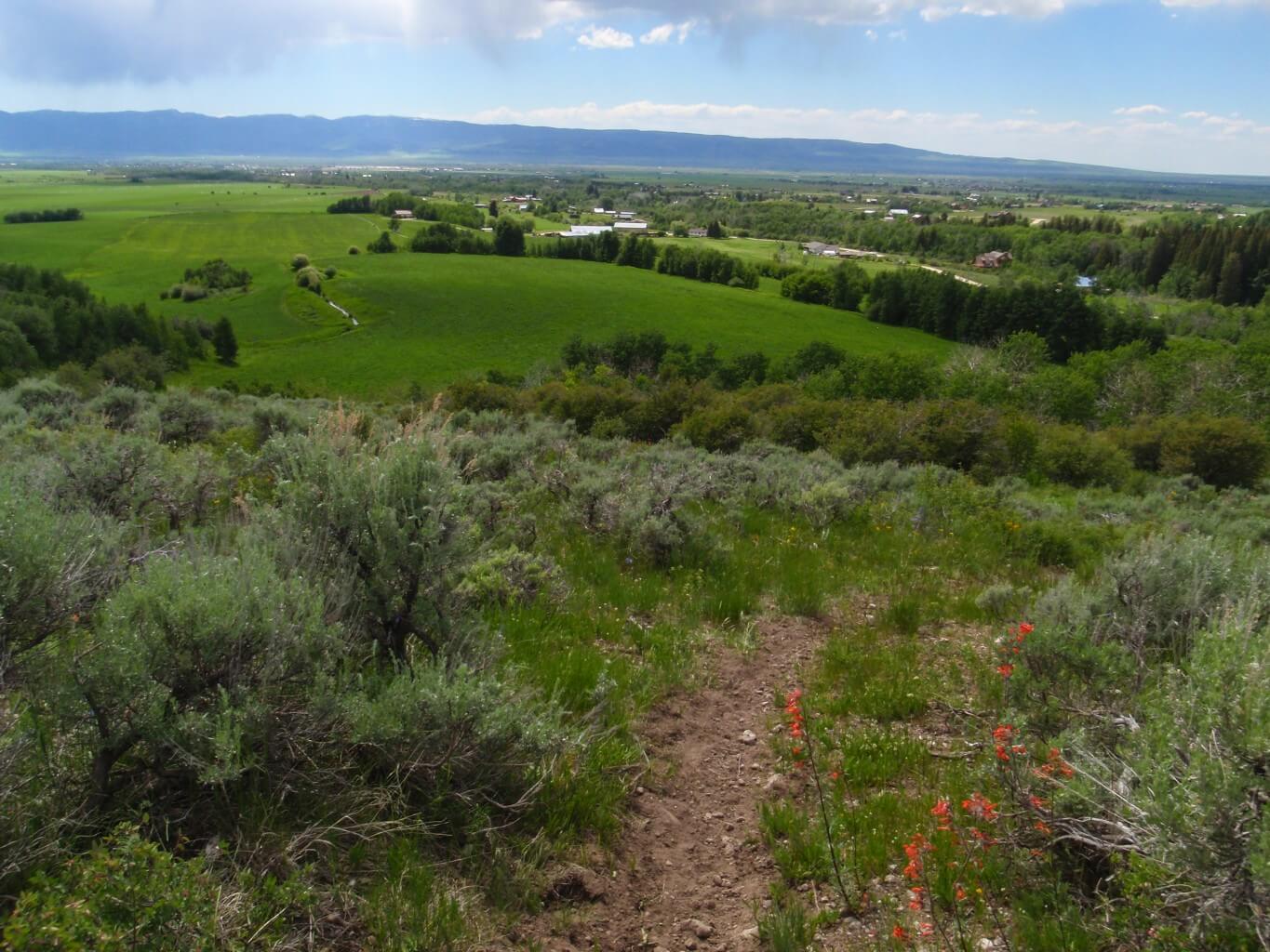
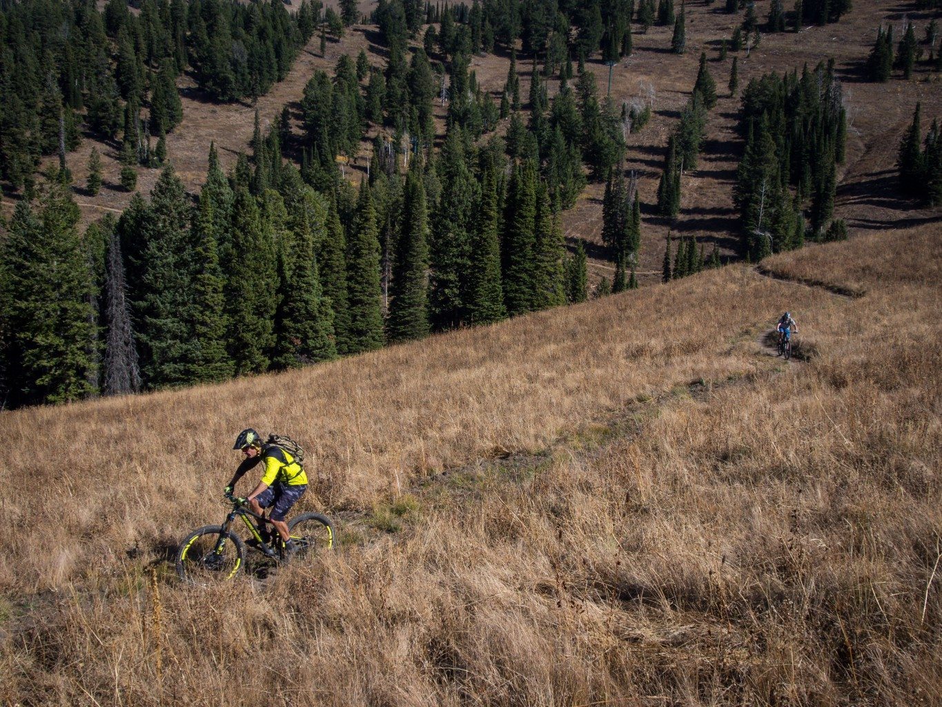
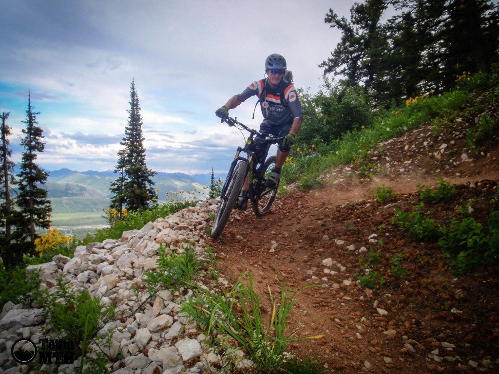
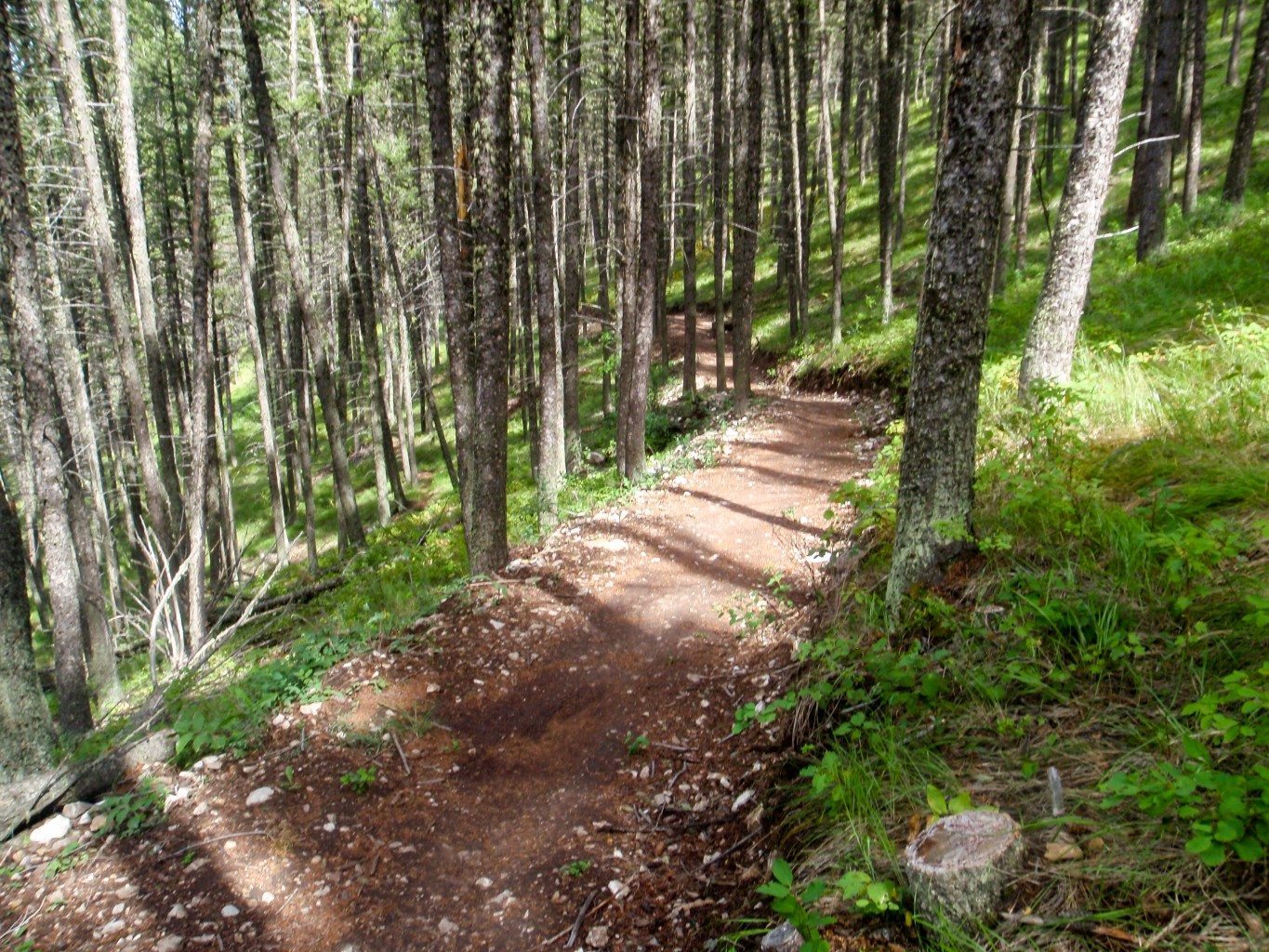
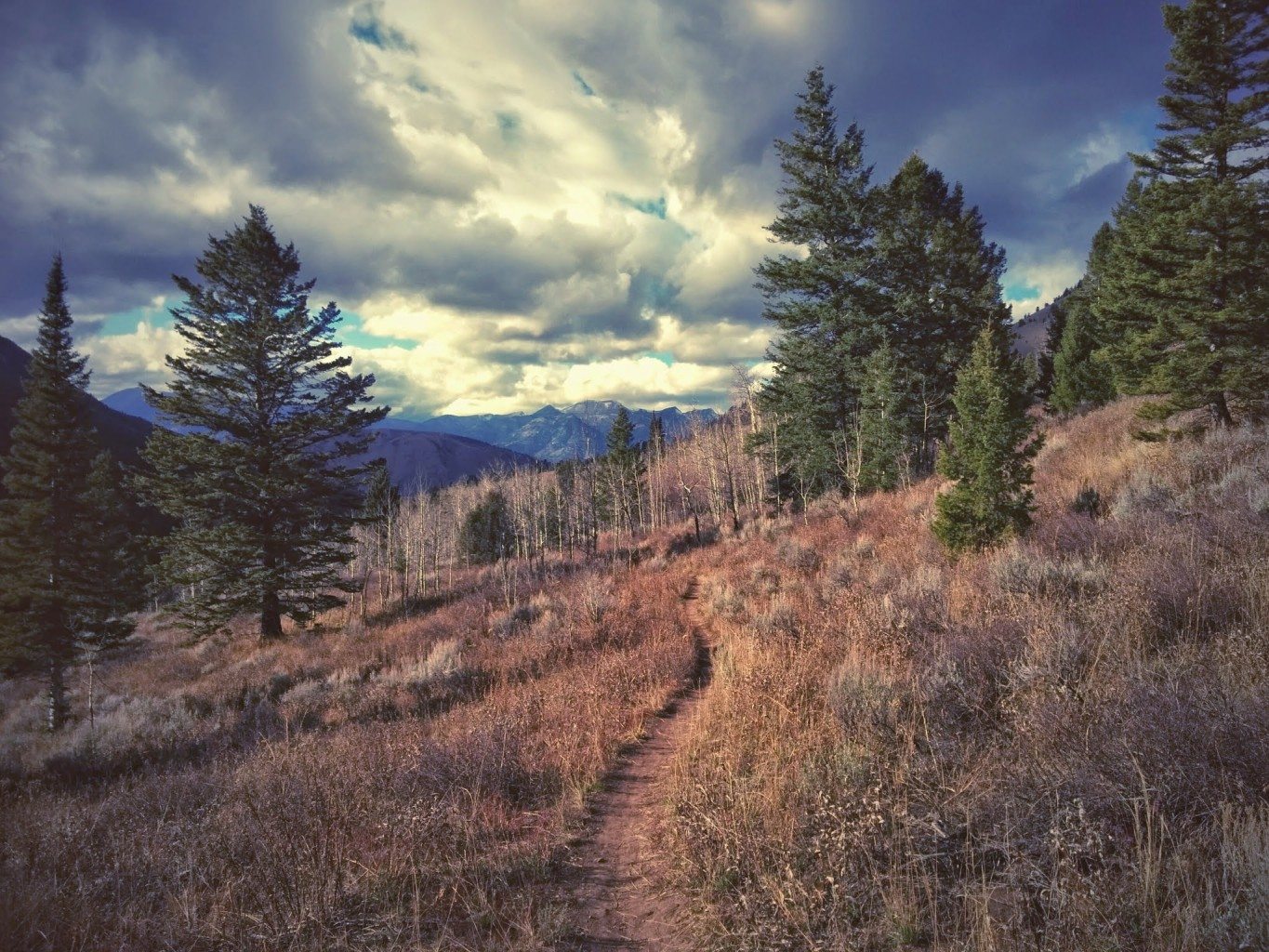
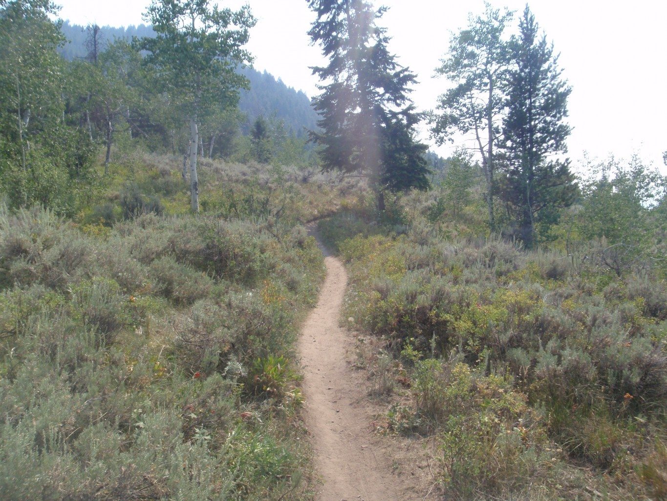
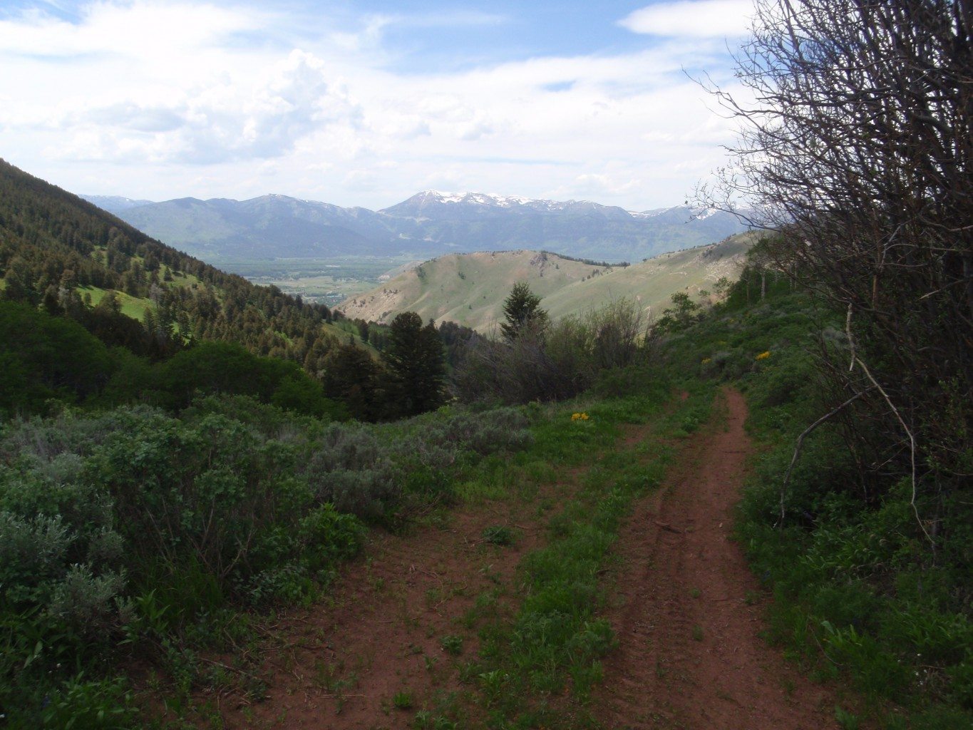
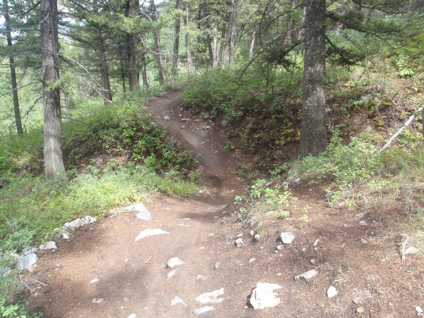
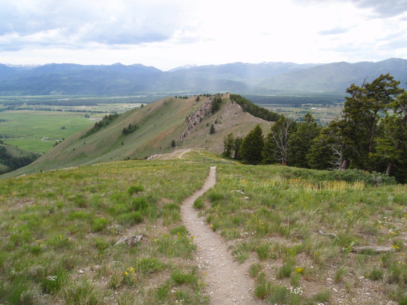
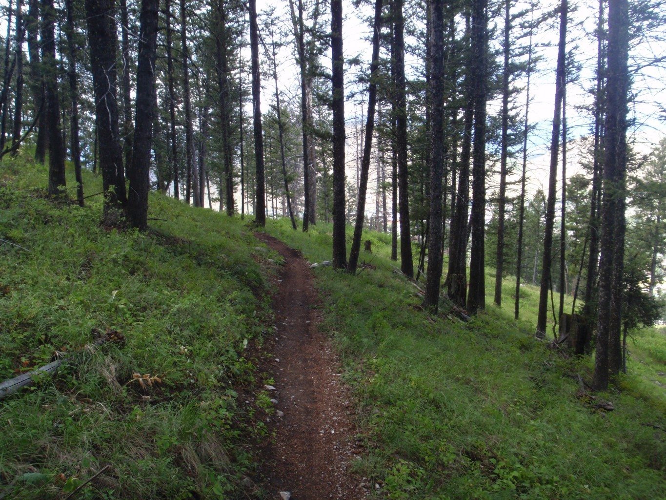
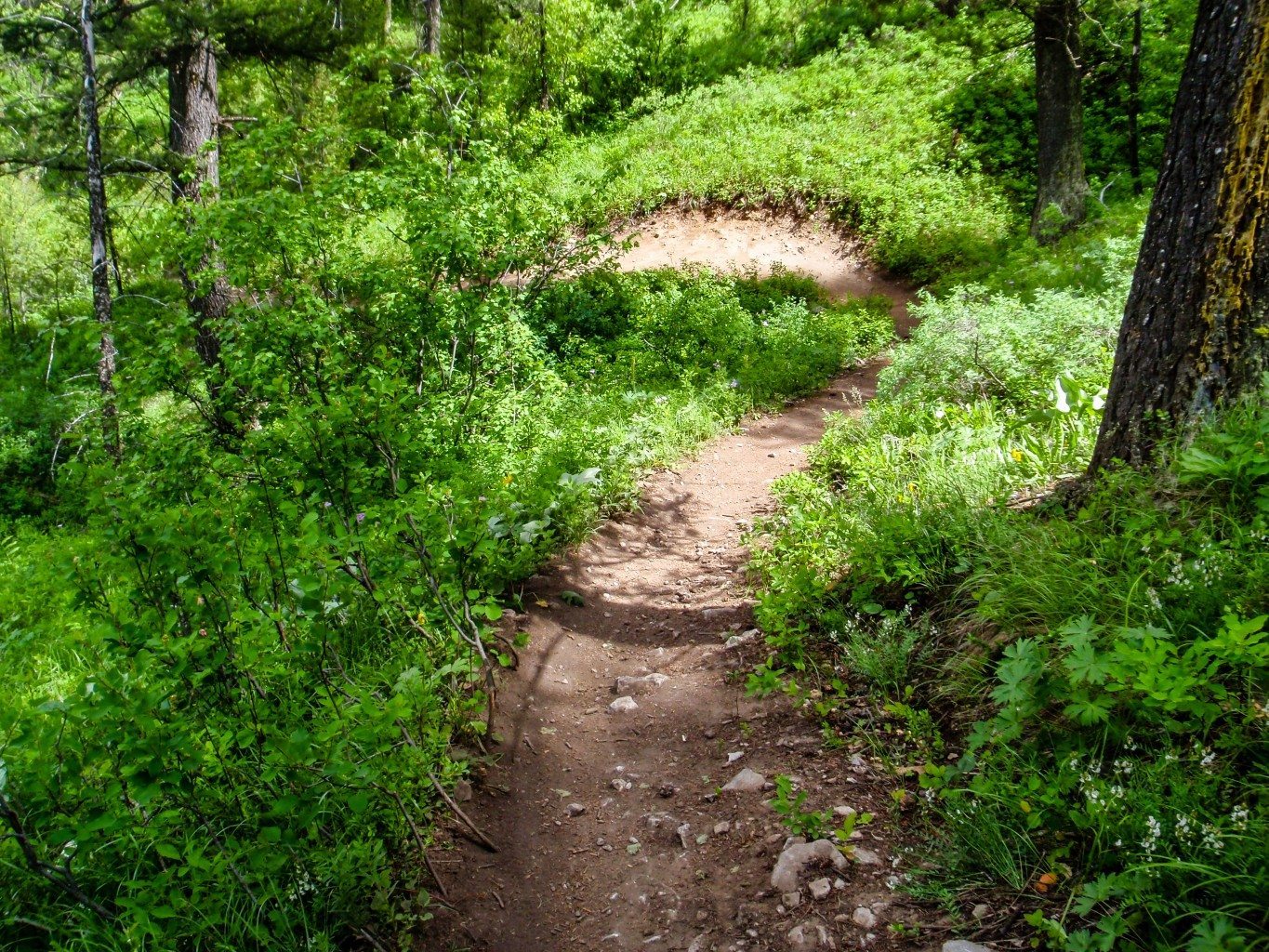
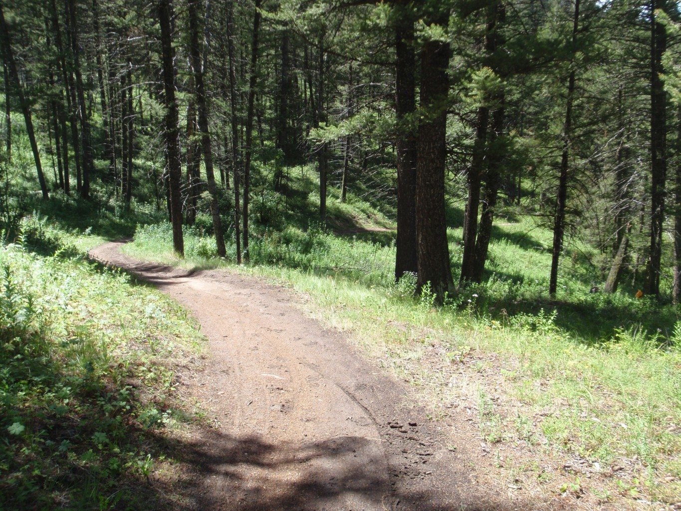
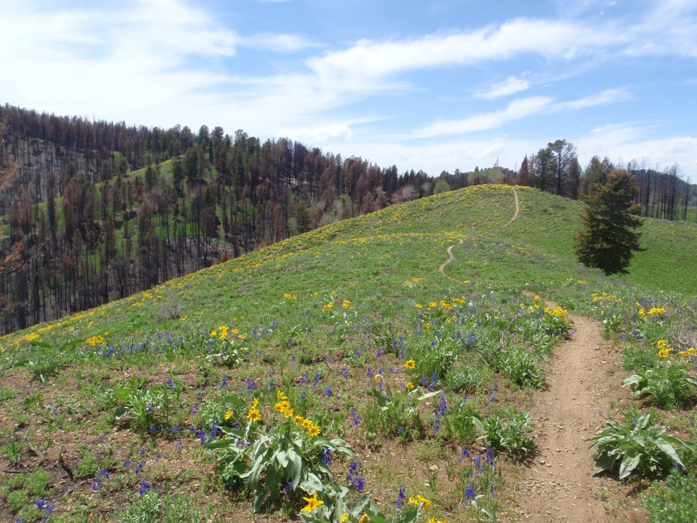
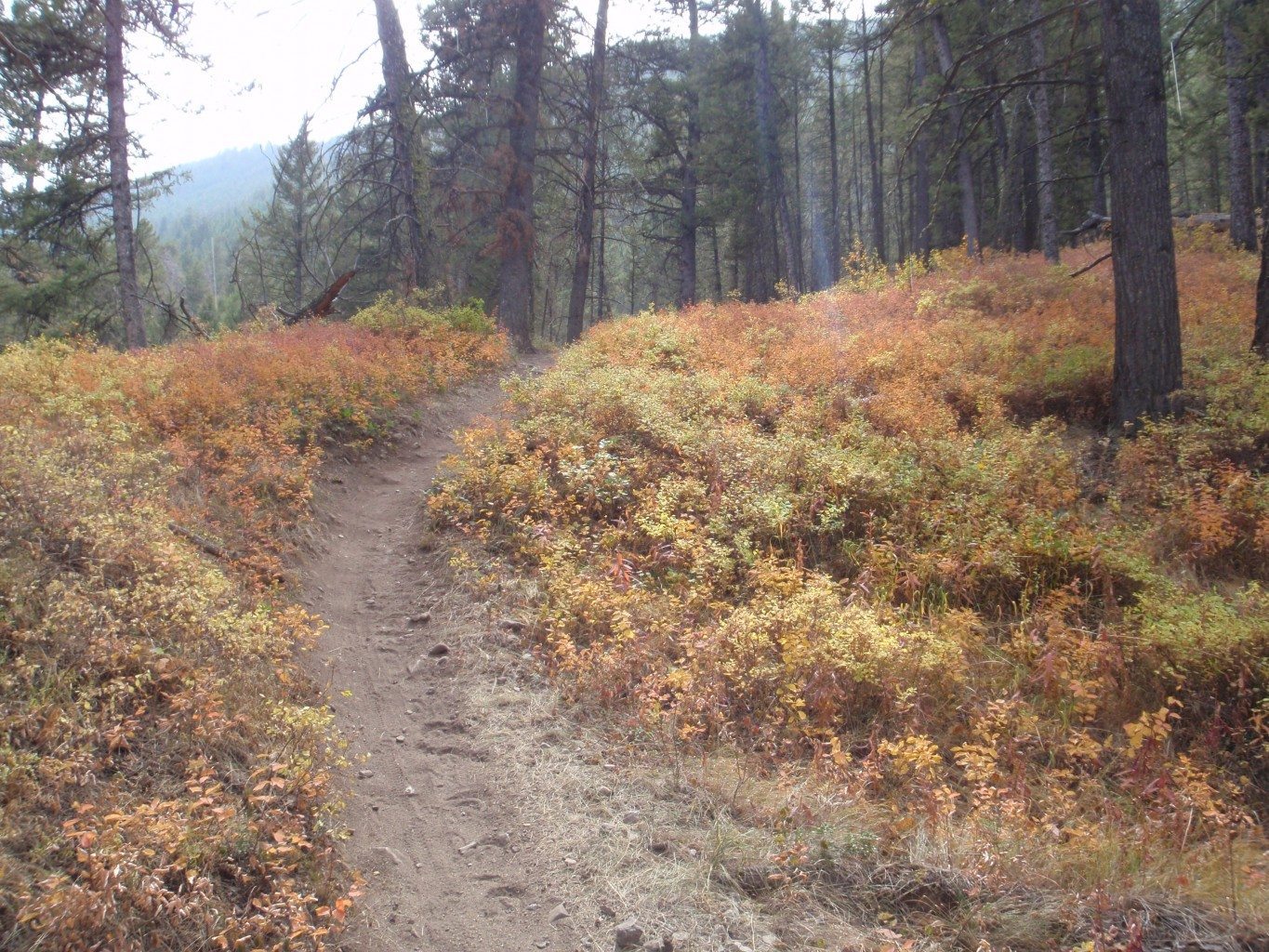
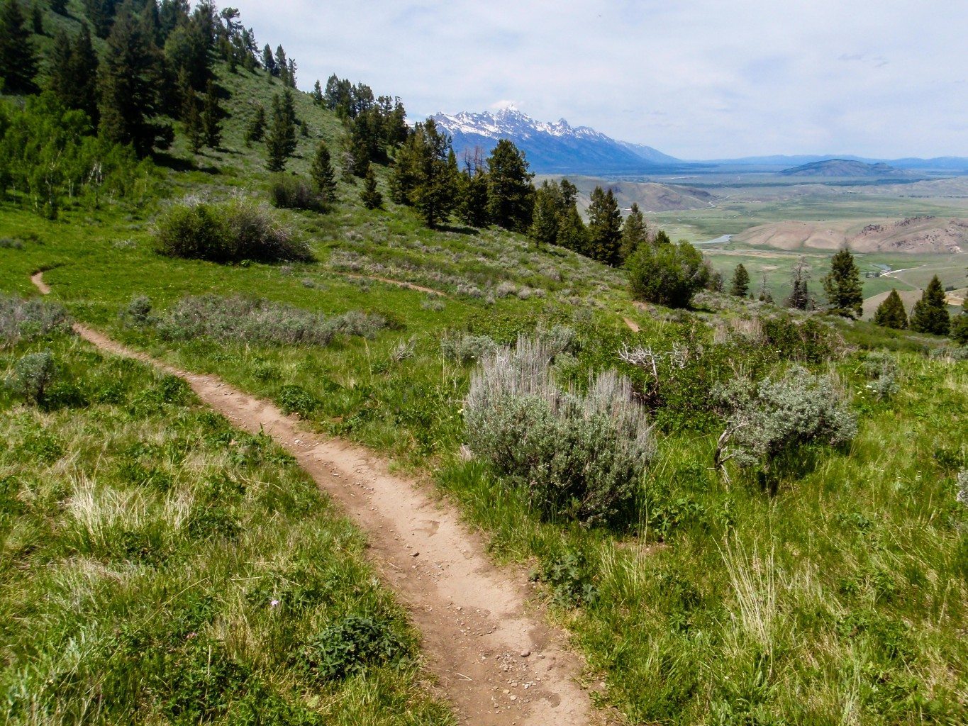
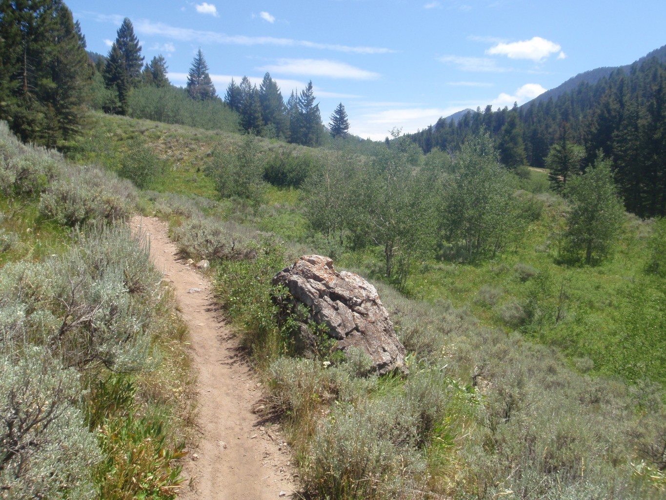
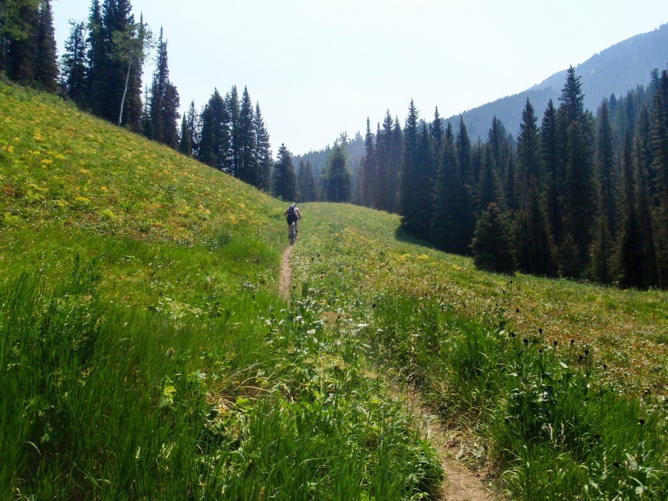
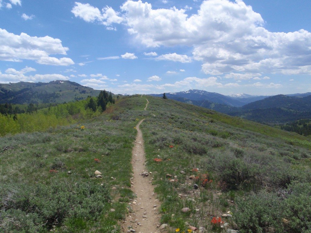
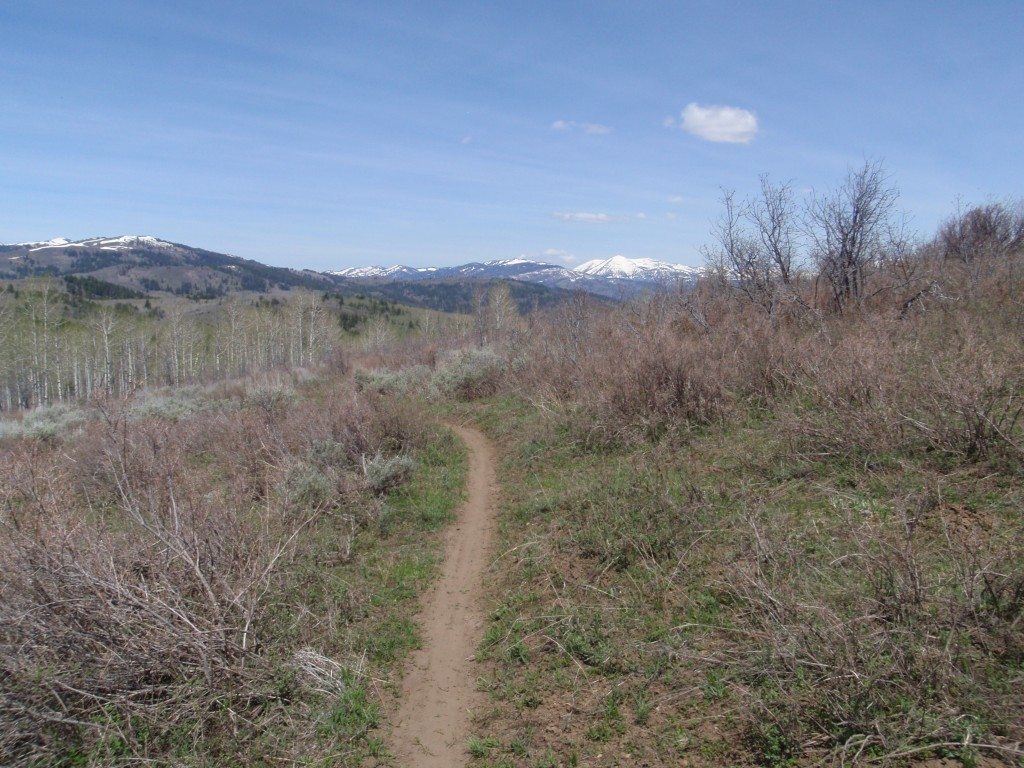
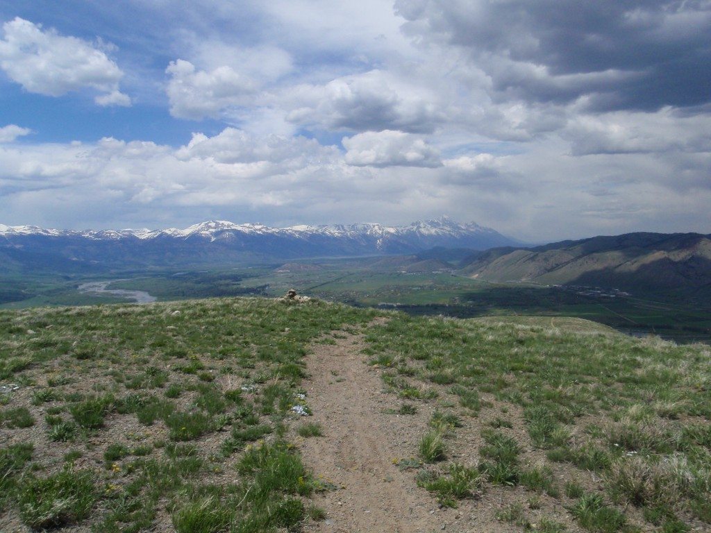
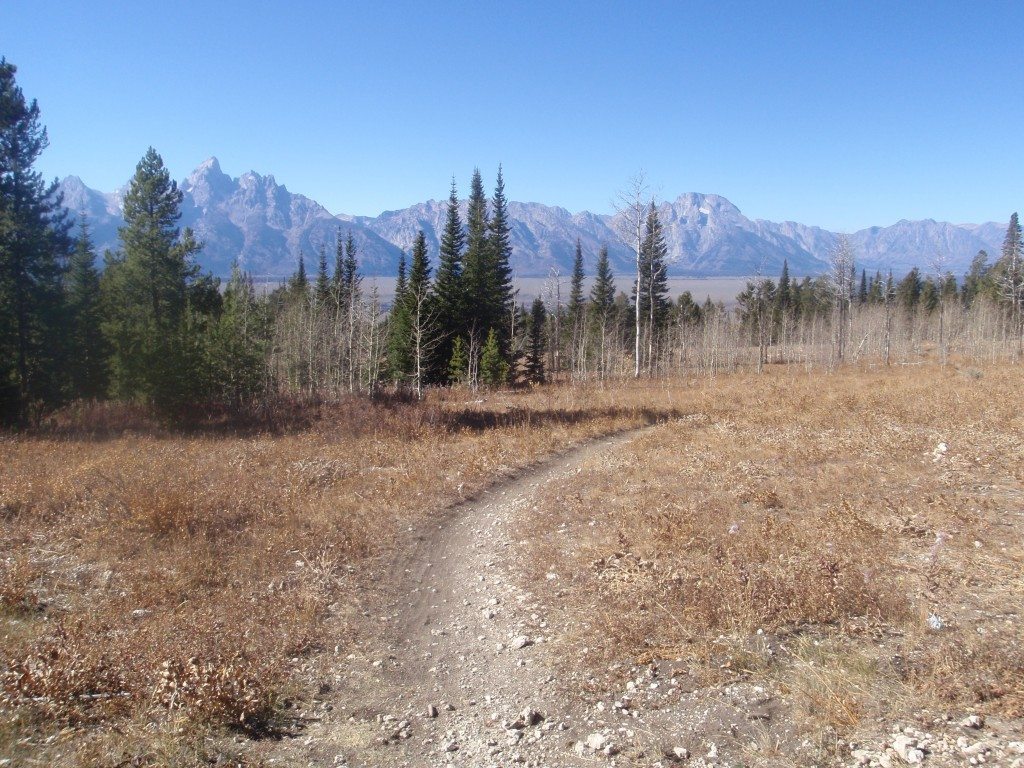
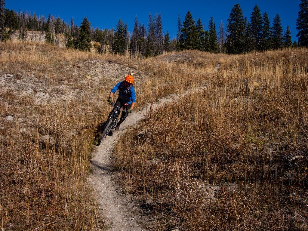
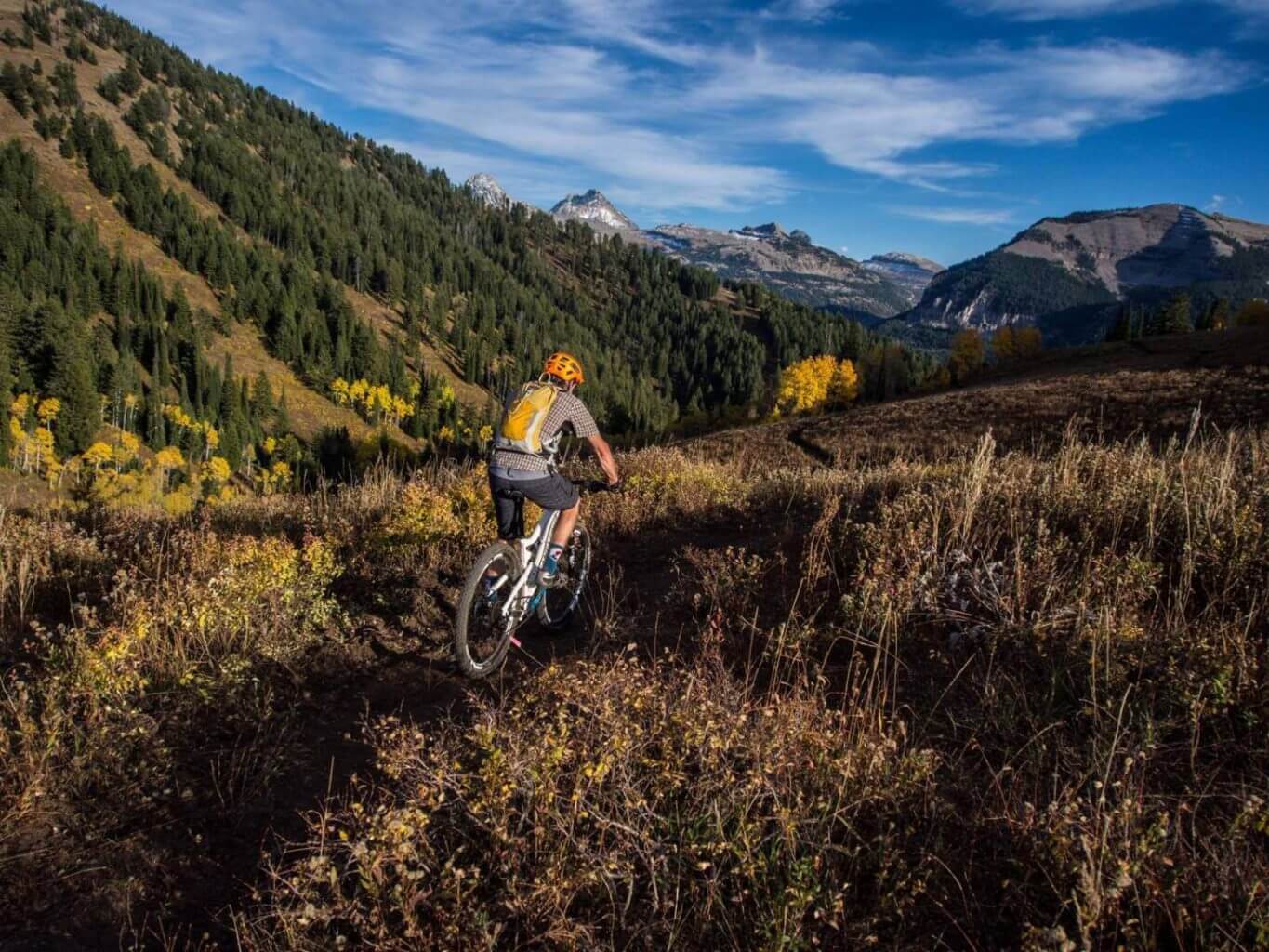
Rocky Mountain Way

Cross Country

Cross Country Biking generally means riding point-to-point or in a loop including climbs and descents on a variety of terrain. A typical XC bike weighs around 20-30 lbs, and has 26″, 27.5″ or 29″ tires. This can be a singlespeed, 1x, 2x or 3x geared bike and offers no suspension, front suspension or dual suspension travel.

Rocky Mountain Way

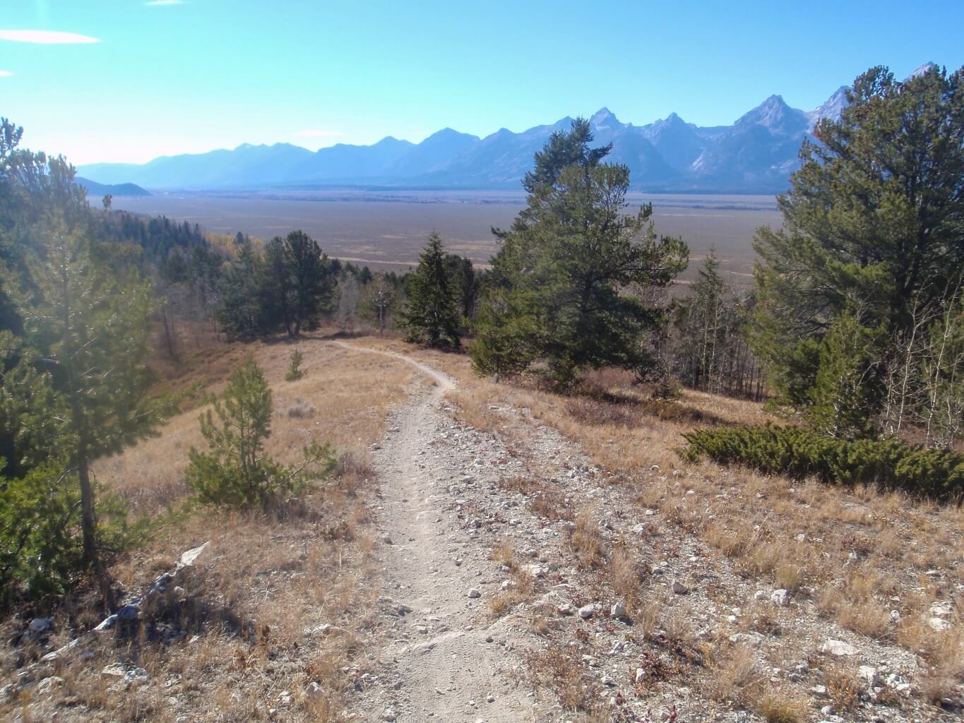
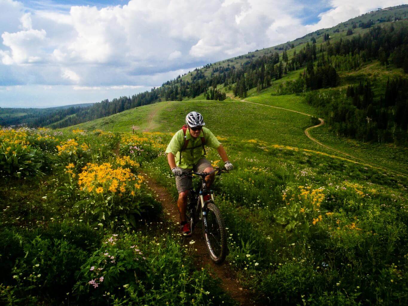
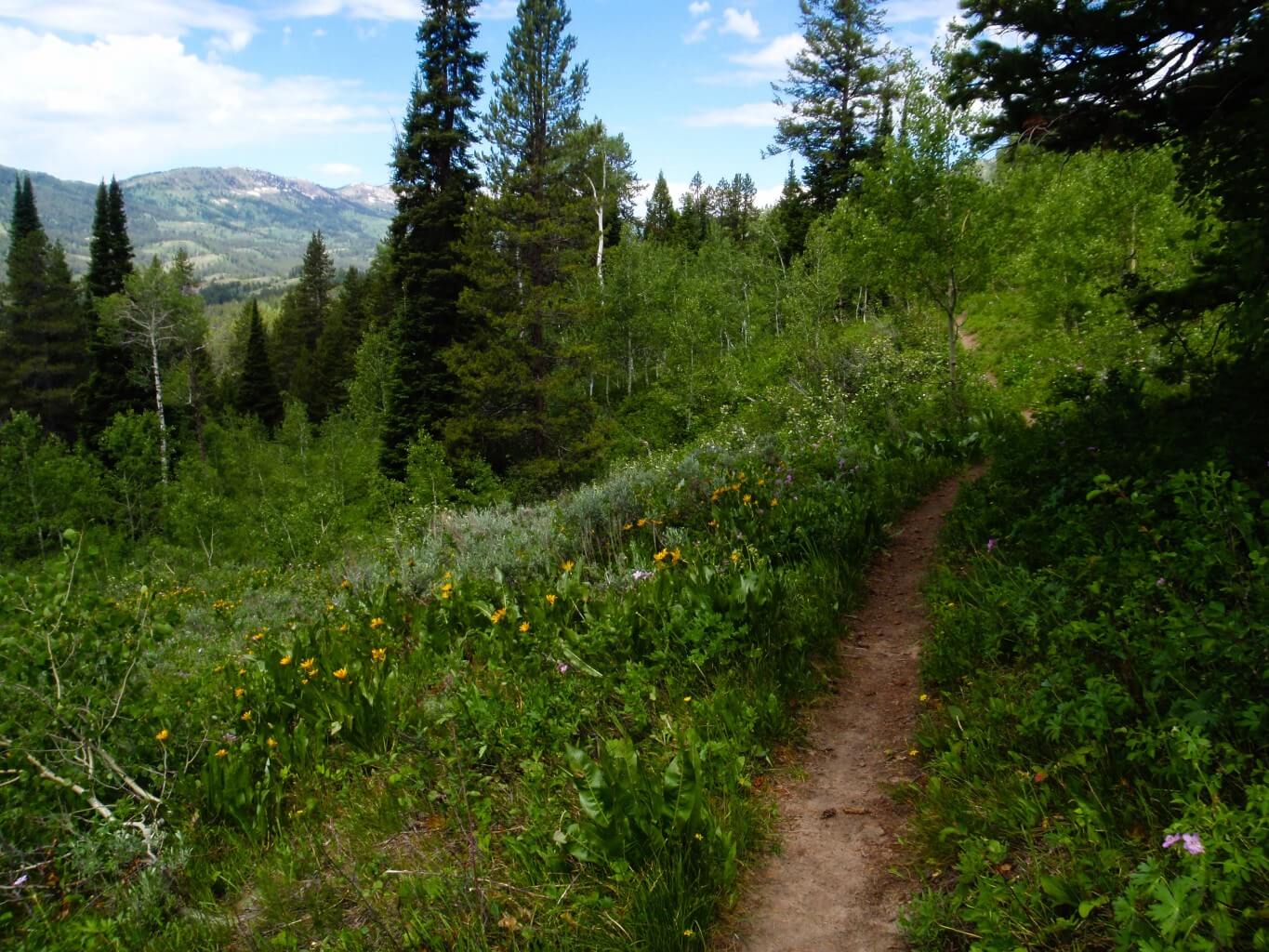
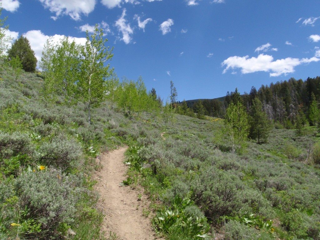
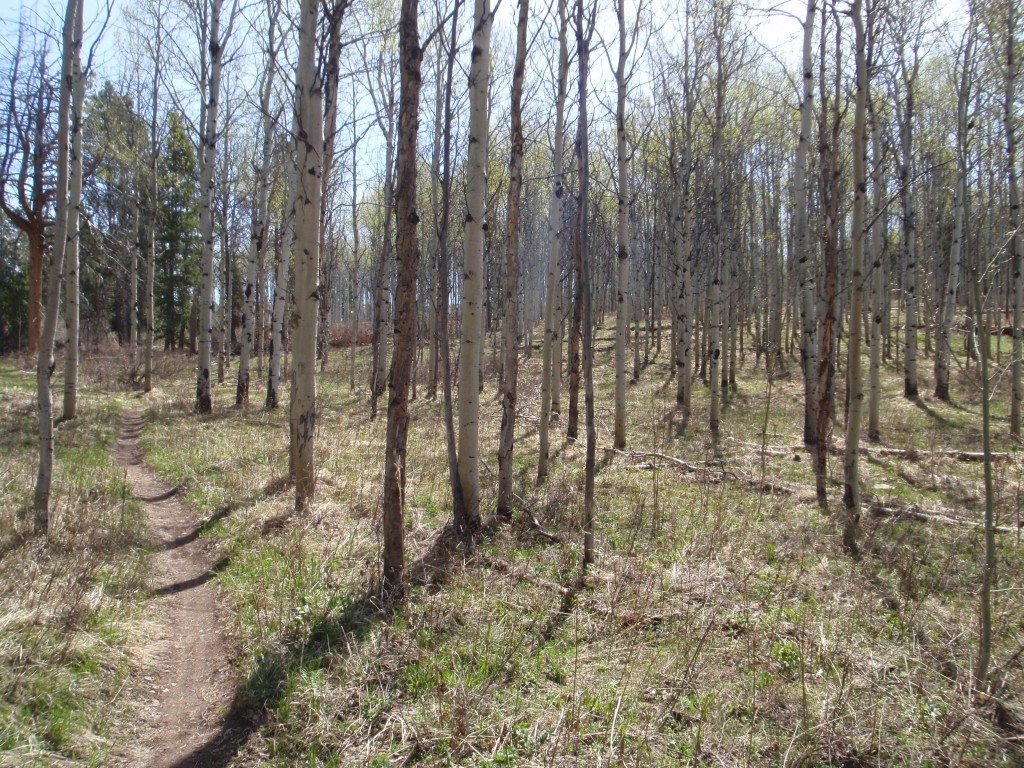
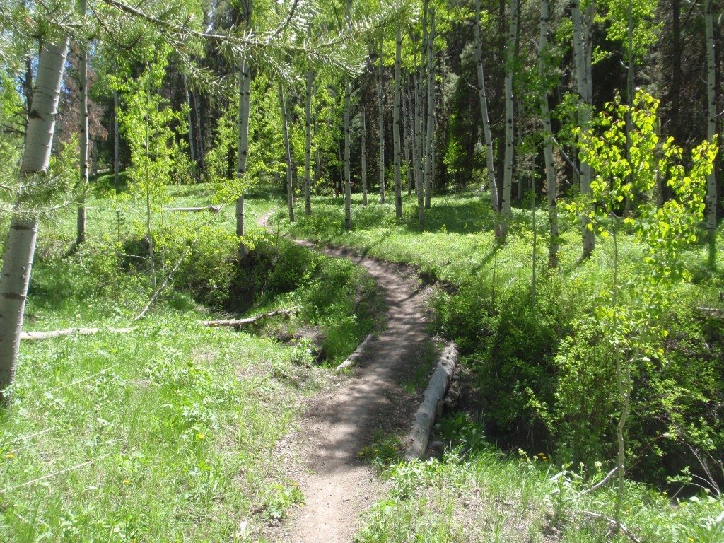
Access This trail can be accessed from the base area at Grand Targhee [Directions to resort from Driggs, ID]. Options This trail can be ridden as an out-and-back starting at the base area of Grand Targhee Resort by climbing Andy’s or Action Jackson to the Junction of Andy’s, Buffalo Soldier and Action Jackson and descending Rocky Mountain Way […]

Rocky Mountain Way Read More »

Southfork Horseshoe Canyon to Mahogany Creek Ride

Access This ride is accessed from the Horseshoe Canyon South Fork Trailhead on Old Horseshoe Road [Directions to trailhead from Driggs, ID]. If shuttling to eliminate the road ride, park at the Mahogany Creek trailhead [Directions to trailhead from Driggs, ID]. Directions If riding as a loop you can park at Mahogany Creek trailhead, Horseshoe Canyon Southfork trailhead,

Southfork Horseshoe Canyon to Mahogany Creek Ride Read More »

Shadow Mountain Loop

Access This ride is accessed by parking at the bottom of Shadow Mountain Road [Directions to trailhead from Kelly, WY] and pedaling up to the summit. This trail can also be shuttled by driving to the summit. Directions This trail can be ridden as a loop by pedaling up Shadow Mountain Road to the summit. The main

Shadow Mountain Loop Read More »

Grand Targhee Loop

Grand Targhee Resort is excited to announce that their Grand Targhee Loop, IMBA Epic Ride which includes a combination of many of the trails at the resort has been named as an Epic Ride by the International Mountain Bicycling Association (IMBA). Since 1989, IMBA has been bringing out the best in mountain biking by encouraging

Grand Targhee Loop Read More »

Red Creek Loop

Access This ride is accessed from the Spooky trailhead on Pine Creek Pass (Hwy 31) [Directions to trailhead from Victor, ID] Directions Park at the Spooky trailhead and climb Spooky to the junction with Corral Creek (1.2 mi). From there take a right unto Corral Creek and continue until you’ve reached the junction of Corral Creek

Red Creek Loop Read More »

Phillip’s Canyon Loop Ride

Access This ride is accessed via the Old Pass Road cycling path, the Arrow trail which starts on Phillip’s Canyon Trail Road which is a dirt two track road located halfway up Teton Pass from Wilson Directions to trailhead from Wilson, WY or from the Phillip’s Canyon trail by starting on Fish Creek Road Directions to

Phillip’s Canyon Loop Ride Read More »

Mail Cabin to Mikesell Ride

Access This ride starts at the Mail Cabin trailhead [Directions to trailhead from Victor, ID] and ends at the Mikesell Canyon trailhead [Directions to trailhead from Victor, ID]. Directions Start your ride by parking at Mikesell Canyon trailhead and either pedalling or shuttleing the 6 miles to the Mail Cabin trailhead. From there, take the Mail Cabin trail

Mail Cabin to Mikesell Ride Read More »

Cache Creek To Game Creek Ride

Access This trail is accessed via the Cache Creek trailhead [Directions from town square Jackson, WY] or indirectly from Game Creek [Directions to trailhead from town square Jackson, WY]. Directions Start your ride at the Cache Creek trailhead. From there, you can either take Cache Creek or any one of  Putt-Putt, Hagen Sidewalk, or Hagen trails

Cache Creek To Game Creek Ride Read More »

Lower Horseshoe Canyon Loops

Access This ride starts at the Bovine trailhead on Old Horseshoe Road [Directions to trailhead from Driggs, ID]. Directions Start your ride by climbing the Bovine trail from the parking area on Old Horseshoe Rd. Continue up Bovine, crossing the Miners two-track and continuing onto Shark’s Belly (1.3 mi). Stay on Shark’s Belly until you’ve reached the

Lower Horseshoe Canyon Loops Read More »

Dead Cow

Access This trail can be accessed from the northern end by starting up the Sheep Bridge trail [Directions to trailhead from Driggs, ID] in Teton Canyon and making a right just past where the trail turns west, or from the southern end via Spring Creek Road near the north end of the Aspen Trail [Directions to trailhead

Dead Cow Read More »

Action Jackson

Access This trail can be accessed via the top from the Mill Creek trailhead on Teton Canyon Road [Directions to trailhead from Driggs, ID] or from the bottom by parking at Grand Targhee Resort [Directions from Driggs, ID]. Options This trail can be ridden as an out and back from the base area of the

Action Jackson Read More »

Arrow To Phillip’s Ridge

Access This trail is accessed via the Phillip’s Canyon Trail Road which is a dirt two track road located halfway up Teton Pass from Wilson Directions to trailhead from Wilson, WY or from the Phillip’s Canyon trail by starting on Fish Creek Road Directions to trailhead from Wilson, WY. Directions Start your ride by parking

Arrow To Phillip’s Ridge Read More »

Wilson Canyon

Access This trail is accessed via the Cache Creek trailhead [Directions from town square Jackson, WY] or the Game Creek trailhead [Directions to trailhead from town square Jackson, WY]. Options At around 3.5 miles from the junction of Ferrins this trail becomes extremely difficult. The next mile after that is steep, loose, rocky and very

Wilson Canyon Read More »

Sink Or Swim

Access This trail is accessed from Hagen Highway/Hagen to Sink Or swim via the Cache Creek trailhead [Directions from town square Jackson, WY] or from the base area of Snow King Resort [Directions from town square Jackson, WY] or from the trailhead near the bridge on the paved bike path behind the new Post Office

Sink Or Swim Read More »

Shade Monkey

Access This trail is accessed from Hagen Highway/Hagen to Sink Or swim via the Cache Creek trailhead [Directions from town square Jackson, WY] or from the base area of Snow King Resort [Directions from town square Jackson, WY] or from the trailhead near the tunnel on Pine Glades Dr [Directions from town square Jackson, WY].

Shade Monkey Read More »

Putt Putt

Access This trail can be accessed from Nelson Drive [Directions from town square Jackson, WY] or via the Cache Creek trailhead [Directions from town square Jackson, WY] and several other places along Cache Creek Road. Options This trail can be ridden as an out and back from the Nelson Drive trailhead; as a loop by

Putt Putt Read More »

Linda’s

Access This trail can be accessed from the bottom on the KC trail and on the top from Sink Or Swim. Options This trail can be ridden as access to the west end of Sink or Swim by starting on KC; as part of a short loop including Sink or Swim to this trail to

Linda’s Read More »

Leeks Canyon

Access This trail is accessed via the Cache Creek trailhead [Directions from town square Jackson, WY] or the Game Creek trailhead [Directions to trailhead from town square Jackson, WY]. Options This trail can be ridden as an out and back starting at Hagen to Ferrins/Josie’s Ridge/Leeks Canyon North Fork/Leeks Canyon – or – Hagen to

Leeks Canyon Read More »

KC

Access This trail is accessed from Hagen Highway/Hagen to Sink Or swim via the Cache Creek trailhead [Directions from town square Jackson, WY] or from the base area of Snow King Resort [Directions from town square Jackson, WY] or from the trailhead near the bridge on the paved bike path behind the new Post Office

KC Read More »

Josie’s Ridge

Access This trail can be accessed on one end from the junction of Ferrins and Wilson Canyon via the Cache Creek Trailhead [Directions from town square Jackson, WY] or on the other end from the Josie’s Ridge/KC trailheads near the Flat Creek bridge on the paved bike path behind the new Post Office [Directions from

Josie’s Ridge Read More »

Hagen To Sink Or Swim

Access This trail is accessed via the Cache Creek trailhead [Directions from town square Jackson, WY] or from the base area of Snow King Resort [Directions from town square Jackson, WY]. Options This trail is a connector from Hagen Highway to Sink Or Swim. It can be ridden as part of an out and back

Hagen To Sink Or Swim Read More »

Hagen To Ferrins

Access This trail can be accessed via the Cache Creek Trailhead [Directions from town square Jackson, WY]. Options This trail can be ridden as an out and back starting with Hagen; as a longer out and back by adding Ferrins to the end; as a longer out and back by adding Ferrins to Snow King;

Hagen To Ferrins Read More »

Hagen

Access This trail is accessed via the Cache Creek trailhead [Directions from town square Jackson, WY]. Options This trail can be ridden as an out and back from the Cache Creek trailhead; as a loop by pedaling up Cache Creek Road (two track); as one of several smaller loops; as a longer loop including Putt

Hagen Read More »

Hagen Highway

Access This trail is accessed via the Cache Creek trailhead [Directions from town square Jackson, WY] or from the base area of Snow King Resort [Directions from town square Jackson, WY]. Options This trail can be ridden as an out and back; as a connector to Ferrins via Ferrins to Snow King; as part of

Hagen Highway Read More »

Game Creek West Fork

Access This trail is accessed via the Cache Creek trailhead [Directions from town square Jackson, WY] or the Game Creek trailhead [Directions to trailhead from town square Jackson, WY]. Options This trail can be ridden as part of loop starting w/Cache Creek Sidewalk, Putt  Putt, or Hagen to Game Creek/Game Creek West Fork/Wilson Canyon/Ferrins/Hagen;  as

Game Creek West Fork Read More »

Game Creek

Access This trail is accessed indirectly via the Cache Creek trailhead [Directions from town square Jackson, WY] or directly from Game Creek [Directions to trailhead from town square Jackson, WY]. Options This trail can be ridden as an out and back by starting at the Game Creek trailhead; as a longer out and back by

Game Creek Read More »

Ferrins To Snow King

Access This trail can be accessed on one end from the Hagen Highway and the other end from the junction of Ferrins and Hagen to Ferrins, which are all accessed via the Cache Creek trailhead [Directions from town square Jackson, WY]. Options This trail can be ridden in either direction as a connector between Ferrins

Ferrins To Snow King Read More »

Ferrins

Access This trail can be accessed from the bottom via Hagen/Hagen to Ferrins or the Hagen Highway by starting at the Cache Creek Trailhead [Directions to trailhead from town square Jackson, WY] or from the top via Josie’s Ridge [Directions to trailhead from town square Jackson, WY] or Game Creek West Fork which is accessed

Ferrins Read More »

Cache Creek Sidewalk

Access This trail is accessed via the Cache Creek trailhead [Directions from town square Jackson, WY]. Options This trail can be ridden as an out and back; as part of a loop including Cache Creek Road or Putt Putt or Hagen; as part of a longer loop by adding Hagen/Hagen Highway/Sink Or Swim; as part

Cache Creek Sidewalk Read More »

Cache Creek

Access This trail is accessed via the Cache Creek trailhead [Directions from town square Jackson, WY] or indirectly from Game Creek [Directions to trailhead from town square Jackson, WY]. Options This trail can be ridden as an out and back from the trailhead to the wilderness boundary; as part of a loop including this trail

Cache Creek Read More »

Wally World

Access This trail can be accessed from either the Poison Creek trailhead [Directions to trailhead from Wilson, WY] or from the Big Munger trailhead on Fall Creek Rd [Directions to trailhead from Wilson, WY]. Options This trail can be ridden as a short loop including Poison Creek in either direction; as a loop starting on

Wally World Read More »

Tusky Ridge

Access This trail can be accessed from either the Poison Creek trailhead [Directions to trailhead from Wilson, WY] or from the Big Munger trailhead on Fall Creek Rd [Directions to trailhead from Wilson, WY]. Options This trail can be ridden as a loop by taking Poison Creek to the first junction of Wally World/Squaw Creek/Tusky

Tusky Ridge Read More »

Squaw Creek

Access This trail can be accessed from either the Poison Creek trailhead [Directions to trailhead from Wilson, WY] or from the Big Munger trailhead on Fall Creek Rd [Directions to trailhead from Wilson, WY]. Options This trail can be ridden as a loop by taking Poison Creek to the first junction of Wally World/Squaw Creek/Tusky

Squaw Creek Read More »

Rock Creek

Access This trail can be accessed most directly from the Big Munger trailhead [Directions to trailhead from Wilson, WY] or more indirectly from the Poison Creek Trailhead [Directions to trailhead from Wilson, WY] both on Fall Creek Rd South of Wilson, WY. Options This trail can be ridden as a very short out and back

Rock Creek Read More »

Poison Creek

Access This trail can be accessed either directly from the Poison Creek trailhead [Directions to trailhead from Wilson, WY] or indirectly from the Big Munger trailhead on Fall Creek Rd [Directions to trailhead from Wilson, WY]. Options This trail can be ridden as a very short out and back; as a short loop by taking

Poison Creek Read More »

Cosmic Carol’s

Access This trail can be accessed most directly from the Poison Creek Trailhead [Directions to trailhead from Wilson, WY] or more indirectly from the Big Munger trailhead on Fall Creek Rd [Directions to trailhead from Wilson, WY]. Options This trail can be ridden as part of a loop starting with Poison Creek to Wally World/Tusky

Cosmic Carol’s Read More »

Cliff Creek

Access This trail can be accessed from the trailhead on Cliff Creek Rd [Directions to trailhead from Hoback Junction]. Options This trail can be ridden as an out and back starting at the trailhead and turning around at the falls. Photos

Cliff Creek Read More »

Big Munger

Access This trail can be accessed either directly from the Big Munger trailhead [Directions to trailhead from Wilson, WY] or indirectly from the Poison Creek trailhead on Fall Creek Rd[Directions to trailhead from Wilson, WY]. Options This trail can be ridden as a loop starting at the Big Munger trailhead, continuing until you reach Squaw

Big Munger Read More »

Shadow Mountain

Access This trail can be accessed by parking at the bottom of Shadow Mountain Road [Directions to trailhead from Kelly, WY] and pedaling up to the summit. This trail can also be shuttled by driving to the summit. Options This trail can be ridden as a loop by pedaling up Shadow Mountain Road to the

Shadow Mountain Read More »

Horsetail Creek

Access This trail can be accessed directly from the trailhead on the Gros Ventre Road [Directions to trailhead from Kelly, WY] or indirectly from Ditch Creek by starting at the Teton Science School [Directions from Kelly, WY] and pedaling up Ditch Creek Road. Options This trail can be ridden as a very difficult out and

Horsetail Creek Read More »